Flagstaff webcams
These live cameras show downtown Flagstaff, the highways and the Snowbowl slopes. Each link goes straight to the camera, so the picture is always the latest.
These live cameras show downtown Flagstaff, the highways and the Snowbowl slopes. Each link goes straight to the camera, so the picture is always the latest.
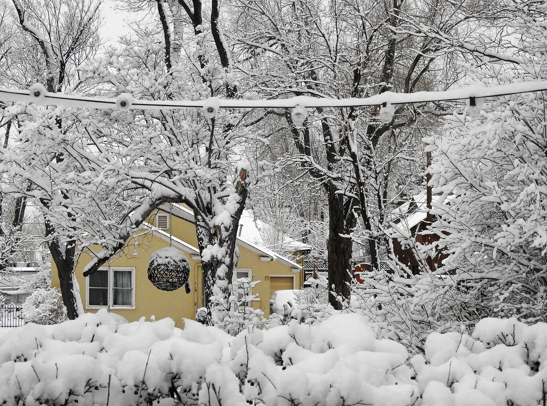
E Elm St, Flagstaff, January 2019 · Photo: Coincidence Cafe / Wikimedia Commons, CC BY 2.0 · Credits
Three live cameras on the mountain, on the resort's own webcam page. They show best how much snow is on the slopes.
Downtown has a live camera on the city's tourism site. The rest are Arizona Department of Transportation cameras on the roads in and around town; each one shows a recent still image.
Cameras along I-17 between Flagstaff and the valley, from north to south. They're the ones to watch before a winter weekend drive.
SR-89A down Oak Creek Canyon is the scenic road to Sedona. Two ADOT cameras cover the canyon.
The Park Service runs cameras at the South Rim, including one at the South Entrance Station. ADOT covers I-40 at Williams and SR-64 on the way to the park.
A camera shows what the road looked like a few minutes ago. It doesn't show whether chains or four-wheel drive are required. az511.gov or 511 has that, and Snowbowl posts its own road update.
For sledding, see where snow play is allowed and the parking rules that come with a $200 fine.
The downtown camera shows town, the Snowbowl cams the mountain. On average December to March each bring 15 to 21 inches of snow at the airport. The weather by month has the numbers.
Yes, three live cameras: the gondola, the Grand Canyon Express lift and the Hart Prairie area. They're on the resort's webcam page, linked above.
The ADOT cameras show a recent picture of the road, but they don't tell you whether chains are required. For closures and restrictions use az511.gov or dial 511.
The National Weather Service's San Francisco Peaks webcam has been taken offline.
